

Slide ID
CV-81-008
_pkUnique ID
CV81008
Slide Date
1981
Preview
Identifier
CV81008
Date
1971
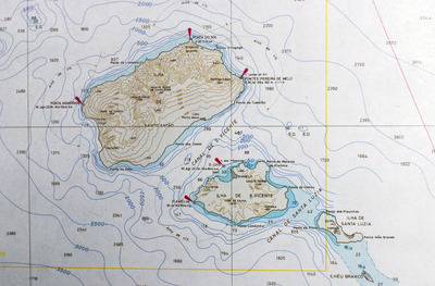
Description
Detail from a topographical map of Cape Verde (see CV-81-001). This detail shows the islands São Antão, São Luzia and São Vicente.
Keywords
map; topographical; Cape Verde;
Box
1
Folder
4
Image Dimensions
5292x3474
Software
VueScan
Date Time Scanned
19-8-2010 12:00 AM
Color Space
RGB
File Size
3.0 MB
Document Type
Image
Recommended Citation
Baxter, David, "Map of São Antão, São Luzia & São Vicente" (1981). David Baxter papers: Cape Verde photographs. 244.
https://digitalcommons.ric.edu/baxter_gallery/244
Keywords
map; topographical; Cape Verde;